Wednesday, May 3, 2017

SAWH -> SCCF

Route distance: 2064nm
Plane used: JA-37Di
Route: https://skyvector.com/?ll=-46.65853255820889,-73.32000731758306&chart=301&zoom=1&fpl=%20SAWH%20NAS%20B432%20ECA%20W48%20ASOPA%20G550%20BAL%20UG550%20TEN%20TEN%20TEN%20T126%20MON%20Q802%20NIA%20V551%20CHI%20G551%20AMB%20V551%20TBN%20T114%20DAT%20V200%20FAG%20NEDAV%20SCCF

The Andes are pretty.


Monday, September 19, 2016

Friday, October 30, 2015

Leg 14: ENKR Kirkenes-Hoybuktmoen to ENSB Longyearben

Total distance traveled: 7535nm
Route distance: 655nm
Plane used: BV-170
Route: ENKR - ENAT - ENHF - ENBJ - ENSB

Taking off from ENKR, I decided to continue my route to ENAT, and then turn north. I stopped and ENHF, partly to refuel, partly because I couldn't turn down a chance to land at a place called Hammerfest. Gorgeous coast line, gorgeous airport. Definitely on my favorites list.

From there, it was bearing 3-4-0 to ENBJ (which isn't in SkyVector - it's a small island between Norway and Svalbard), and then continuing on the ENSB. Svalbard was very pretty, with lots of mountainous terrain. It's so far north, that at this time of year I landed in the dark (at around noon local time). Heres me landing at ENSB airport:


I'll probably explore Svalbard before taking off on the trip to CYLT, which is going to be interesting.

Leg 13 - USDD Salekhard to ENKR Kirkenes-Hoybuktmoen

Total distance traveled: 6880nm
Route distance: 906nm
Plane used: BV-170
Route: USDD - NRM - ULMM - 69 26' 27" N 28 43' 33"E - ENKR

Leaving Russia!
WoooOOooOooOOOooOo!

This was lame/fun.


It was a pretty straightforward flight. Navaids were 300nm-500nm apart, just due to there being nothing up there.

On the stretch from ULMM to ENAT, my internet crashed, so Terrasync stopped working and the terrain data from my local files didn't load... so no terrain. I emergency re-routed to ENKR, which was ~30nm distant from where I was at.

ENKR was a very pretty airport. If you're ever up north, I recommend it.

Wednesday, October 28, 2015

Leg 12 - UOOO Norilsk to USDD Salekhard

Total distance traveled: 5974nm
Route distance: 498nm
Plane used: BV-170
Route: UOOO - USDD

Here is our lovely N69 line again.

Pretty uneventful.
Flightgear crashed halfway through (again), but my plan to pre-download scenery worked out pretty well.


Tuesday, October 27, 2015

Leg 11 - UEST Tiksi to UOOO Norilsk

Total distance traveled: 5476nm
Route distance: 842nm
Plane used: BV-170
Route: UEST - UOHH - UOOO


Change of plans - after tweaking the flight model, I don't think I can make the 1,600nm trip to CYLT, so instead I'm headed to UOOO via UOHH.
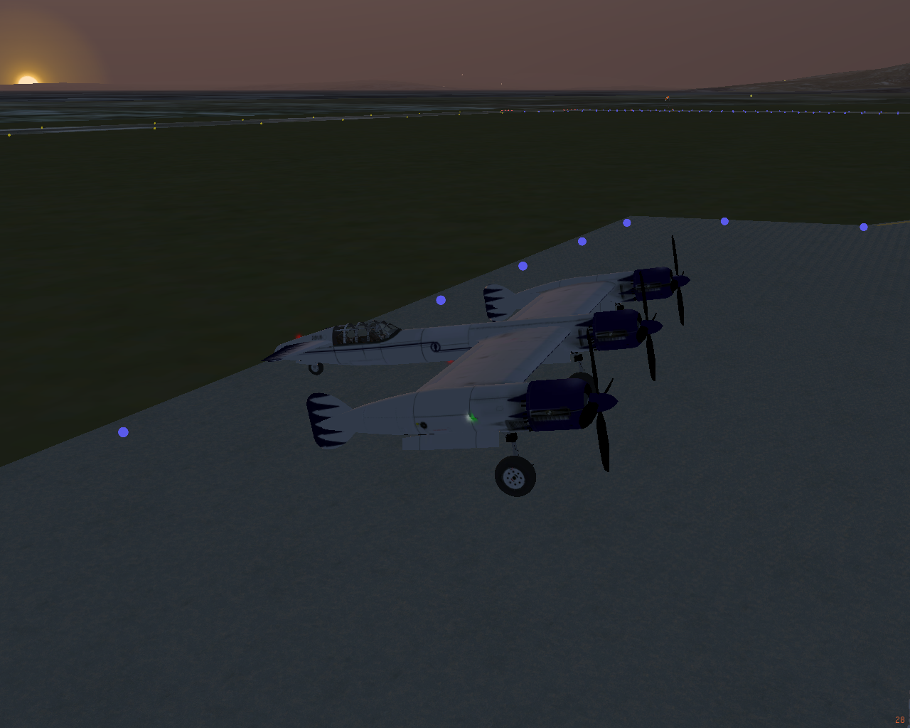
I decided to head out at dawn.


This was pretty much my view for most of the flight.


I was veeeeeeeery glad to arrive at UOHH. It was the longer leg of the journey, and arriving here meant I only had another 350nm to go.


At about 150nm to UOOO, the clouds rolled in. I tuned in my ATIS to here that conditions were worsening. "Expect ILS landing" and "snow falling and drifting" and "winds at 30kts" were... not was I was hoping for.

At about 80nm, I dipped down into the soup to confirm something I was worried about - Terrasync had  failed (again). I ended up having to jot down my GPS coordinates and restart after manually downloading the scenery. I don't think I'm ever going to rely on Terrasync again, but I'll keep it running in the background. It's just disheartening to make a ~900nm trip only to have to reset the simulator because you don't have the scenery.

Back on topic: the soup was thick, and IFR flight in the BV-170 is very hard. It just flat out doesn't have the instrumentation for it. My view:


I was glad it was dawn, so I could see the runway lights through the soup.


And this was my landing conditions. Holy moley.


So, there you have it. Aside from simulator issues, a moderately boring flight until the landing.

Friday, October 23, 2015

Leg 10 - UHMP Pevek to UEST Tiksi - and news regarding the BV-170

Total distance traveled: 4634nm
Route distance: 837nm
Plane used: BV-170
Route: UHMP - UEBN (Nizhneyansk, not in SkyVector) - UESO - UEST


Flying over northern Russia (see that line thing - it goes on for several thousand miles like that). The total leg distance for this one was approximately 800nm, and I was using it as a testbed for the next leg of the flight: flying over the North Pole to CYLT. I made it with approximately 65% of my fuel left.


After this, I decided to update the flight model and instruments of the BV-170, so my test is no longer valid. =]


I'm currently testing and tweaking the flight model. I've added a radio stack, and other instruments to help along the way.


I'm also updating the cockpit meshes. More info to come. I won't be able to fly to CYLT for a while. I'm cheating by testing the flight dynamics in the Dead Sea basin.